
The Duck River at Columbia has its own gauge, and the National Weather Service ties each reading to what the water reaches. Knowing those numbers turns a river forecast into a decision about what to move, what to shut off and when to call a Columbia water damage restoration team.
Key takeaways
- The National Weather Service names four stages for the Duck River at Columbia: action at 28 feet, minor flood at 32, moderate flood at 37.5 and major flood at 41.
- At 40 feet the NWS says flooding affects structures on Riverside Drive and approaches structures on Second Avenue, East Seventh Street and South Glade Street.
- The river crested at 44.91 feet in May 2010 and 42.76 feet in late February 2019, and the record at the gauge is 51.75 feet from February 14, 1948.
- River water inside a building is Category 3 water, so wet carpet, pad and drywall come out and the structure is dried afterward.
- A stage measures the river at the gauge, not the depth of water at a house, so a forecast is a signal to prepare and not a promise about one address.
How to read the Columbia gauge
The gauge reports stage, the height of the Duck River in feet at that spot. A stage is not the depth of water on a street or in a house.
It shows how high the river is compared with levels the National Weather Service has matched to known impacts.
The river is not the only water to watch. The NWS impact statements for the Columbia gauge name ten tributaries that feed it, among them Bigby Creek, Fountain Creek, Bear Creek and Rutherford Creek.
Four stages matter most, and each one has a list of places the NWS expects the river to reach.
- Action stage, 28 feet: Water begins to cover low lying and agricultural land along the Duck River and its tributaries and approaches parts of Riverwalk Park.
- Minor flood, 32 feet: Riverwalk Park is affected, and water begins to cover Old Lewisburg Highway near Fountain Heights Road and the Chickasaw Trace Park boat ramp.
- Moderate flood, 37.5 feet: At 37 feet water reaches the parking lot at the Riverwalk Park Dam and approaches Riverside Drive between Stewart Street and Second Avenue.
- Major flood, 41 feet: Structures on Riverside Drive are already affected at 40 feet, and the NWS lists more streets at 44, 48 and 52 feet.
What each stage reaches
The NWS impact statements read like a map of the river corridor, starting in the parks and moving into neighborhoods. Once water is inside a building, storm and flash flood cleanup takes over from forecasting.
28 to 37 feet: parks and low roads
Early stages stay mostly in the river corridor: Riverwalk Park, the Riverwalk Park Dam parking lot and Old Lewisburg Highway near Fountain Heights Road. For most households these stages are a warning, not an emergency.
40 to 44 feet: structures start to flood
At 40 feet the NWS says flooding affects structures on Riverside Drive and approaches structures on Second Avenue, East Seventh Street and South Glade Street.
At 44 feet the list adds East Eighth Street and North James Campbell Boulevard near U.S. 31, and water approaches Carter Street, Riverside Elementary School and structures on Bridge Street and Old Williamsport Pike.
48 to 52 feet: toward downtown
At 48 feet the NWS lists Woodland Street north of Ninth Street, with water approaching Hannaway Street and Taylor Bend.
At 52 feet structures and roads downtown near the river are affected, along with structures along Bigby Creek on North James Campbell Boulevard near Hampshire Pike.
The crests Columbia remembers
Three readings give the stages some weight. Read against the impact lists above, the 2010 crest sat above the 44 foot entries and the 2019 crest above the 40 foot entries.
- February 14, 1948: 51.75 feet, the flood of record at the Columbia gauge.
- May 2010: 44.91 feet, the seventh highest level on record according to NWS Nashville.
- Late February 2019: 42.76 feet, above the 41 foot major flood stage. On February 23, Maury County emergency management reported Riverside Drive in Columbia flooded and closed, with about 15 roads closed across the county.
When the forecast reaches action stage
Action stage exists so people can act before the river is in the road. The preparation is short, and it is much easier with dry floors and daylight.
- Move furniture, electronics and papers off the floor in rooms close to the river.
- Find the main water shutoff and the electrical panel, and plan how to reach both safely.
- Photograph every room while it is dry, so an adjuster has a before picture.
- Check that any flood insurance policy is active and know where the paperwork is.
- Plan a way out that does not rely on a road the NWS lists at a lower stage, such as Riverside Drive.
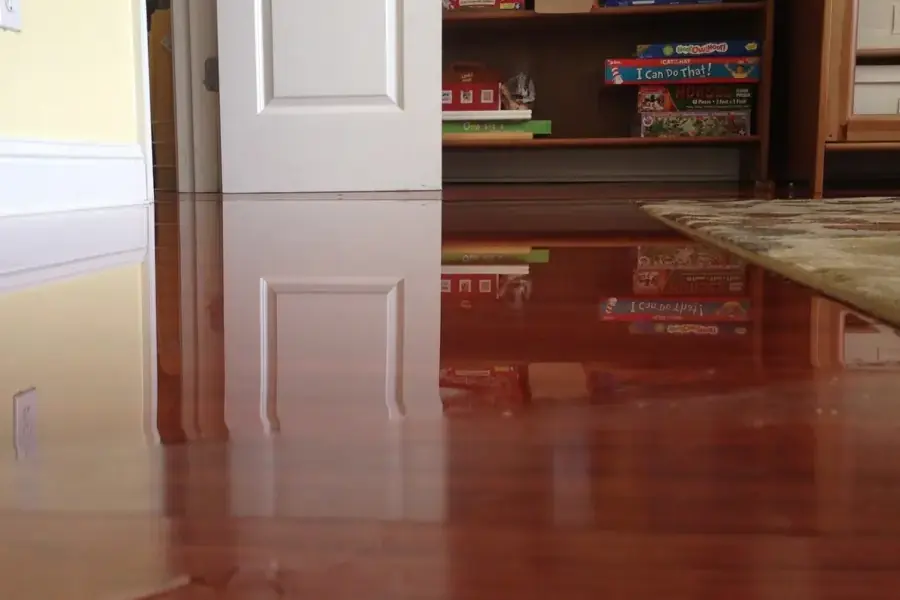
When river water reaches a building
A few steps come before any cleanup, and each one protects people or the claim.
- Keep power off in wet rooms until an electrician checks the outlets and the panel.
- Stay out of moving water, and never drive across a flooded road.
- Photograph the high water mark on the walls before any cleanup begins.
- Call early, since water extraction in Columbia is the step that limits how far the water spreads.
What the cleanup involves
River water carries silt, sewage and runoff, so it is Category 3 water from the moment it is inside. The extraction crew pumps it out, and mud is shoveled and squeegeed away before any drying starts.
Carpet, pad, wet drywall and insulation that touched the water are removed. Hard surfaces and framing are cleaned with an EPA registered antimicrobial, then the drying team runs air movers and LGR dehumidifiers and logs readings every day.
Flood insurance and the City of Columbia
Rising river water is generally excluded from a standard homeowners policy and covered by a separate flood policy. Columbia takes part in the National Flood Insurance Program, and the City's Floodplain Management listing includes the FEMA flood map panels.
The same rules apply to everyone: photographs, a written list of damaged items and the drying logs are what a claim file is built from. Crews that handle storm and flood cleanup in Spring Hill follow the same steps when creek water is the cause.
Questions
What does the 28 foot action stage mean?
At 28 feet the NWS says water begins to cover low lying and agricultural land along the Duck River and its tributaries and approaches parts of Riverwalk Park. It is the cue to prepare, not a sign that homes are flooding.
Which Columbia streets flood first?
The NWS impact list starts with Old Lewisburg Highway near Fountain Heights Road at 32 feet, then Riverside Drive between Stewart Street and Second Avenue at 37 feet, and structures on Riverside Drive at 40 feet.
How high did the Duck River get in 2010 and 2019?
It crested at 44.91 feet in May 2010 and 42.76 feet in late February 2019. The record at the Columbia gauge is 51.75 feet, set on February 14, 1948.
Is the stage the depth of water in a house?
No. Stage is the height of the river at the gauge. How deep the water gets at one address depends on the ground level there and how far the water spreads.
Does homeowners insurance cover river flooding?
Usually not. Rising river water is generally covered by a separate flood policy, and because Columbia takes part in the National Flood Insurance Program that coverage is available. Check the policy and its start date with the insurer.